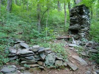
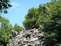
Nature


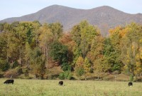
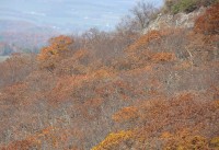
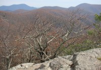
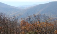
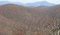
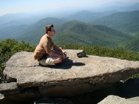
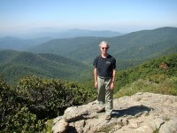
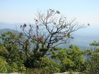
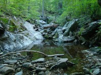
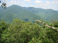
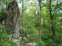
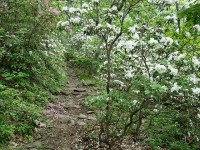
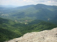
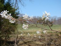
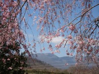
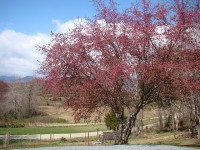
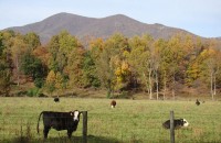
Above: Views along Route 56 en route to the Spy Rock trailhead.  Note: Nelson County has more cattle than people: roughly 19,700 vs. 14,500.


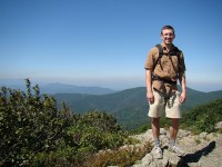
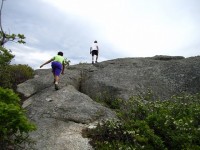
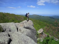
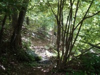
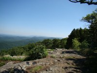
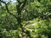
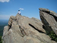
With hunting season only days away (which effectively closes most hiking trails around here), I returned yesterday to Spy Rock, which I’d last climbed with Nic, Felix, and Cally last May.  While there were still nice fall colors and views of The Priest  on the way up route 56, most leaves had fallen on the trail up to Spy Rock and on the surrounding mountains.  Still, as always, I was struck by how wild and beautiful Virginia looks from this vantage point.


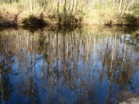
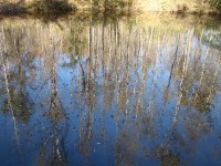
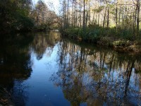
Recently I took a walk along the rails-to-trails path along the Piney River, which marks the southern boundary of Nelson County.  I was pleased to observe that several benches have been added along the section between Rose Mill and Route 29, and by one of them these reflections caught my eye.

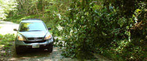
While Hurricane Irene wreaked a lot of havoc along the Virginia coast this past Saturday, we were only mildly affected in Nelson County.  By evening the off-and-on rain showers and winds were gone, and Sunday was a beautiful day.  Nic and I headed off for a 5.5 mile hike in neighboring Amherst County, where we follwed the Henry Lanum loop trail up to the two peaks of Mount Pleasant, and then on over Pompey mountain.  Thanks to the spector of Irene, we had the trail and the summits mostly to ourselves.  The views from the east and west (windy!) summits of Mt. Pleasant are among the most spectacular in the region.  Above: fortunately this tree that Irene’s winds had blown down across the forest service road left enough space for us to get past.

click here for more pictures

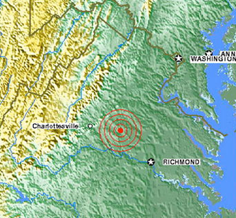
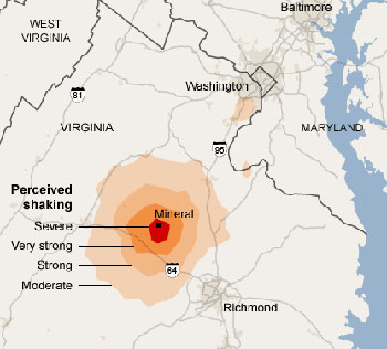
In 2009 we moved down here just in time for the biggest Virginia snowstorm before Christmas since 1936, and today we experienced the biggest Virginia earthquake since 1897!  While rating a respectable 5.8 on the Richter scale, the experience at our home in Nelson County was memorable but modest.  We were standing on our back deck on a lovely summer day when the deck began to shake and a strange noise which Monika aptly describes as an off-balance washing machine emanated from the house.  We went inside and could feel the whole thing trembling, then went to the kennel building in the back, where the glasses vases on the counter were shaking sufficiently to clink musically against each other.  The chickens disappeared from sight—presumably to the security of the hen house.  It was all over within two minutes or so.  We were about 75 miles from the quake’s epicenter in Mineral, Virginia.  We went back to enjoying an absolutely beautiful day.


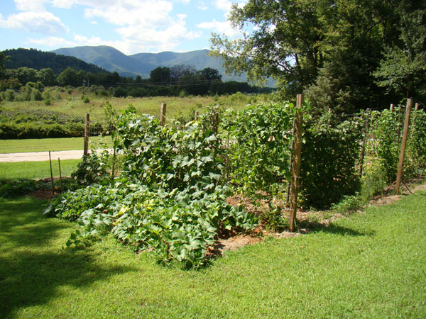
Garden views front and back on an otherwise lovely day

As a longtime Sierra Club member, I was both dumbfounded and appalled by the cover story of the July/August issue: “Thoreau Was Wrong: On The Trail It’s Speed That Inspires.”  The article, it turned out, never mentioned Thoreau and was not nearly as bad as the cover suggested, even if I fail to share the author’s enthusiasm for running barefoot on mountain trails.

But the sheer pretentiousness, stupidity and outrageousness of the magazine cover was highlighted by the fact that about the same time I came across the following quote by none other than the founder and first President of the Sierra Club, John Muir: “‘Hiking’ is a vile word.  You should saunter through the Sierra.”  So did the Sierra magazine editors consider Thoreau a safe stand-in for John Muir?

Muir notwithstanding, I do use the term “hiking,” but I’m increasingly shifting to “sauntering,” both as a literary choice and as an outdoor practice.  Here in the Blue Ridge we do have extraordinary vistas, but so much of the beauty and fascination of this place is found at the micro level, often right at foot level.  “Sauntering” captures a mode of this type of discovery.

So saunterers of the world: Unite and throw off the chains of speed and faddishness!

Note: The Muir quote is from Stephen Fox, John Muir and His Legacy: The American Conservation Movement (Little Brown, 1981), p. 120.

I hiked the last twenty or so miles of the Appalachian Trail in Nelson County, along with a couple extra miles to McCormick Gap in  Shenandoah National Park, in two day hikes on June 30 and July 14.  At some points, the AT weaves itself around the border of Nelson and Augusta counties, but remains mostly in Nelson.

The first 10 miles or so is mostly in the woods, but offers nice views, mainly of the Shenandoah Valley, at periodic rocky outcroppings.  The one mountain along the way, Humpback Mountain (3600 feet) is wooded at the summit, but offers striking views of the Wintergreen resort from the south side, and a nice  overlook  and interesting rock formations on its north side.  The most spectacular place in this section, Humpback Rocks, is .3 miles off the AT on a side trail.  The jagged rocks themselves vie with the view for the top attraction.

The next ten miles offer pleasant hiking through a predominantly  Oak-Hickory forest.  Here one’s focus is drawn more to the immediate environment: the woodland flowers and their pollinators, remnants from the hardscrabble life of early mountain settlers, the almost-constant “tea” call of the Eastern Towhee and (if you’re lucky like I was) the sight of the strikingly large and colorful Pileated Woodpecker.

The final mile is jarring: suddenly one is crossing Interstate 64 on an overpass, with its roar of traffic, which remains audible for the last mile or so as the AT follows along the Augusta-Nelson border as its heads towards McCormick Gap.

After Monika (my trusty transportation team) picked me up, we repaired to the local brewery, Devils Backbone, where Three Ridges Mountain dominates the view from the outdoor veranda.

click here for more pictures
I hiked the next 10.7 mile section of the Appalachian Trail in Nelson County as a day hike on June 14th.  Starting from the trailhead on Route 56 by the suspension bridge over the Tye River (where Nic, Cally and Felix went swimming at the end of the first hike), I began the 3000 foot ascent of Three Ridges Mountain, which dominates this section of the AT.  The trail is graded nicely, and at the higher elevations, mountain laurel and rhododendron were still fully in bloom, along with numerous wildflowers.  While the  three summits of Three Ridges and  Bee Mountain are wooded, there are a series of fine rocky outlooks along the way.  Part of the Three Ridges Wilderness Area, this is a lovely and wild part of the AT.  This section ends at Reid’s Gap, where the AT intersects the Blue Ridge Parkway, where Monika had helped me leave a car early in the morning.

click here for more pictures

About 45 miles of the Appalachian Trail lie within or around the border of Nelson County,  and I’ve resolved to hike them this summer.

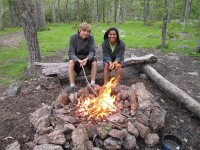
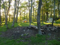
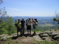
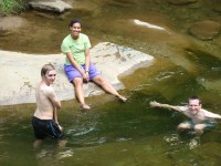
My son Nic, grand-daughter Cally, nephew from Germany Felix, and I  did the first stretch of the AT in Nelson County, starting at Salt Log Gap in the George Washington National Forest (about 3 miles south of the Nelson border) and ending at Route 56 (Crabtree Falls Highway) about 18 miles to the north.  It is a relatively easy stretch that goes through varied woodlands, passing interesting rock formations, including Spy Rock, which offers a 360 degree panorama view which is one of the most spectacular along the Virginia Blue Ridge.  We camped at its base and then continued on the next day over Maintop Mountain and then The Priest, the highest mountain in the region.  While wooded at the top, The Priest has fine rocky viewpoints below the summit on both sides.  Depending on elevation, the forests were abloom in Flaming Azalea, Mountain Laurel, and Rhododendron, and many wildflowers (including two of my favorites, Fire Pink and Yellow Lady Slippers) graced the sides of the trail.    At the end of the overnight hike, across Route 56, Nic, Cally and Felix  cooled off in the Tye River by the AT suspension bridge which marks the beginning of the climb up Three Ridges Mountain, the next trip.

click here for more pictures

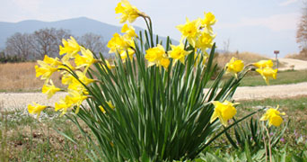
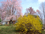
Early spring pictures from our five-acre piece of paradise

click here for more pictures

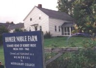
Recently I stepped on a metal rake I had stupidly left lying pointing up on the ground, and the laws of physics produced an egg-sized protrusion on my forehead, which thankfully went down with icing and is only barely noticeable now.  Our friend Phil Welker (a former English teacher) then sent me the following Robert Frost poem, made doubly meaningful by the fact that my family spent many summers in Ripton, Vermont, only a short distance down the road from Homer Noble Farm, Frost’s summer residence.

The Objection to Being Stepped Upon

At the end of the row
I stepped upon the toe
Of an unemployed hoe.
It rose in offense
And struck me a blow
In the seat of my sense.
It wasn’t to blame
But I called it a name.
And I must say it dealt
Me a blow that I felt
Like Malice prepense.
You may call me a fool,
But was there a rule
The weapon should be
Turned into a tool?
And what do we see?
The first tool I stepped
Turned into a weapon.

Given the tragic and scary news coming out of Japan these days, I can’t help wondering about a similar irony and possible lesson.

« Previous PageNext Page »